Tackling New Hampshire on the Appalachian Trail
With only two states left, the trail’s steep climbs, wild weather, and towering peaks tested both endurance and awe.
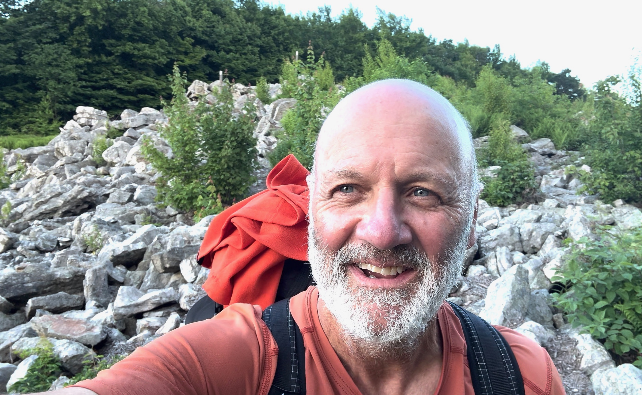
As I exited Vermont and entered the state of New Hampshire through the beautiful town of Hanover, home of Dartmouth College, I was soon overcome by two thoughts. The first was that I now had only two states left to hike, and the second was that these remaining states were considered by many thru hikers to be among the hardest, if not the hardest miles on the entire Appalachian Trail (AT).
The White Mountains: Beauty Carved in Stone and Weather
Having hiked over 1700 miles of the AT, I was not about to stop now regardless of how tough it might get. And boy, did it get tough. The AT in New Hampshire runs 160.9 miles with elevations ranging from 400 ft to 6,288 ft. Most of the trail is in the White Mountain National Forest, which is known for its steep and rugged terrain. It is home to Mount Washington (6288 ft), the highest mountain in the Northeast. It is also known for its severe and unpredictable weather, once holding the record for the highest windspeed ever recorded at 231 miles per hour.
New Hampshire is unique in that the trail has many steep, straight up and downs instead of switchbacks. Most of the other states use switchbacks for the trail system when climbing and descending. Switchbacks are much easier for hiking and protect the trail from erosion caused by rain and snow melt runoff.
The trail through New Hampshire is maintained by the Appalachian Mountain Club and they do a fantastic job. They maintain several huts where you can, for a substantial fee, reserve a bunk for the night, which includes dinner and breakfast. There are also several camp sites and shelters that are maintained by a caretaker. These charge a small fee for a camping spot. You can find places to stealth camp if you don’t want to pay the fee.
Above the Treeline: The Presidential Range and Franconia Ridge
Two of the most beautiful sections in New Hampshire are the Presidential Range and Franconia Ridge. The Presidential Range includes a very long section above the tree line that includes Mt. Washington. Franconia Ridge offers one of the longest continuous stretches above the tree line on the AT.
The views along both sections were amazing, but there was also a touch of concern while hiking these sections because of how quickly the weather conditions can change on the higher ridgelines. You don’t want to be caught out in the open when the weather changes. Even in the summer months they have recorded everything from rain, sleet, hail, and snow. You really must be prepared while hiking in these areas.
As tough and rugged as the New Hampshire section proved to be I cannot think of a more beautiful part of the AT. The towns of North Conway, Gorham, and Lincoln where I resupplied were very hiker friendly, as were all the folks I met while hiking through this awesome state. I cannot wait to return.